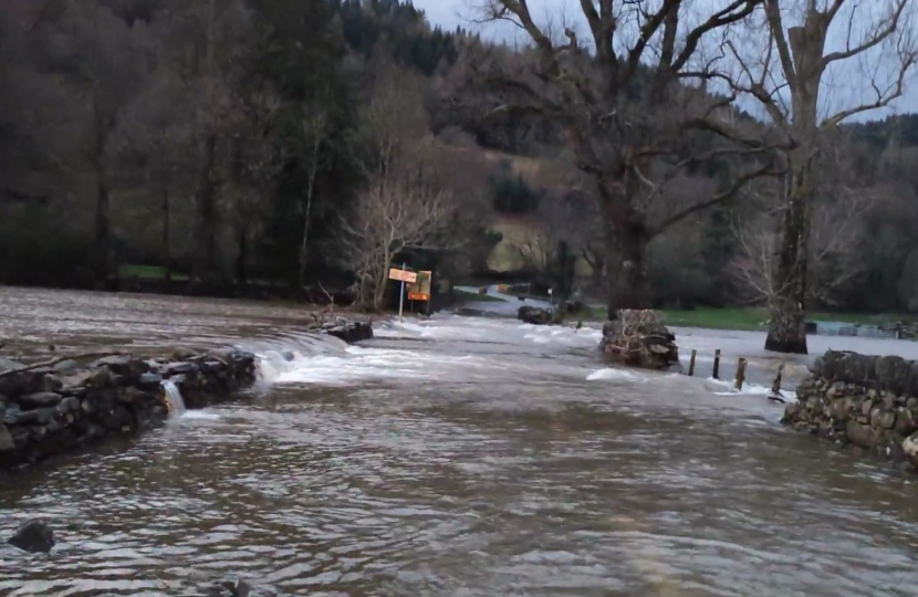
It has been disclosed that the flood maps used to determine whether a proposed development is at risk of flooding are flawed in rural Wales.
In response to concerns raised by Janet Finch-Saunders MS/AS, Shadow Cabinet Secretary for Climate Change and the Environment, Natural Resources Wales (NRW) have advised that where flooding is from an ordinary watercourse, not main river, and residential communities have not been identified at risk, the modelling is broadscale and not as detailed as in other locations.
The “broadscale” approach to flood modelling primarily affects rural dispersed communities.
There is little benefit in a direct challenge to the mapping based on anecdotal evidence. Modelling needs to be undertaken to correct standards to prove the real flood risk, if any. However, NRW is unwilling to prioritise funding for remodelling, expecting landowners, such as farmers, to instead pay.
Commenting on the fact that flood modelling has not been undertaken to correct standards in rural areas, Janet said:
“This is an extremely serious situation, because we know for a fact that the broadscale approach taken by NRW to flood modelling in rural communities has led to land being incorrectly categorised as being at risk.
“What this means is that we have farmers required to adhere to higher and more costly planning standards because of the categorisation of their land by NRW.
“It should not be for farmers to have to pay for modelling to prove the true flood risk. The State should provide a detailed model, not just for urban, but rural areas too.
“The future of family farms are already undermined by the costs associated with the Wales-wide NVZ, bovine TB, and changes to inheritance tax. To expect family farms to now pay for proper flood modelling, which towns have done for them by the state, is completely unacceptable. This way of working by Welsh Government and NRW is flawed”.
ENDS